'Agile learning' or
'strategic war-gaming' Worlds,
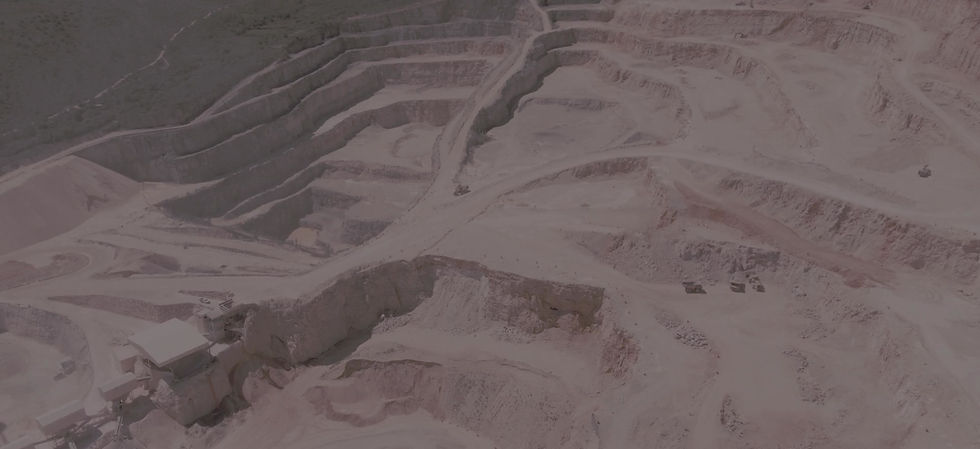
creating smarter mining
Expert Worlds
Accelerating time to workforce expertise
Expert Worlds (agile learning 3D smart spaces) accelerate the expertise of your workforce. 8-16 hours of focussed rehearsal experience can advance user expertise by years in a business or skill domains.
Mega Worlds
Creating powerful organisational agility
Mega Worlds ("what-if" enterprise digital twins) provide miners a fast; safe way to tackle (war-game) difficult strategic problems too risky, too costly or too dangerous to experiment with in real life.

Smarter solutions,
a cut above the rest
Science
Based on the most recent cognitive science research on expertise & accelerated learning.
Other technology & channels utilise traditional 19th Century science & techniques
Capabilities
A global leader, backed by 25 years of funded research. We've leverage the combined knowledge of cognitive scientists, neuroscientists, researchers, economists, expert business minds & VR developers

In with the new,
out with the old (learning paradigm)
Traditional learning models are still primarily based in 19th century science and techniques. Although tech tools have created more channels, they do not address the comprehension & retention challenges of learning e.g. virtual reality just automates pre-existing learning models. Expert & Mega Worlds are unique. They are based on decades of cognitive science research on expertise & accelerated learning, provide immersive & engaging learning journeys, develop creativity & critical thinking and generate 400% retention.
How the brain learns
Over the last 25 years, using the tools of neuroscience and cognitive psychology, researchers began uncovering how the brain actually learns. Learning is an iterative process of repeated attempts and failures. This has promoted the acronym First Attempt in Learning (FAIL) to support the concept. Expertise is a function of cycles of trial and error – not 10,000 hours of practice. This form of learning is tapping into the adaptive unconscious which learns 1000's of times faster than the conscious mind.
Organisations would go broke building experienced business units through iterative real-life, on-the-job failures - although it’s how the best performers will confess they developed their skills.
How Expert & Mega Worlds apply this
Effective experiential learning (learning by doing and iterative failure) requires 'constructive activities’; those that have clear outcomes and goals but poorly defined means to achieve them.
In constructive activities, the users develop a 'second order' understanding of the domain's formal underlying organising principles. Iterative experimentation & failures in workplace contexts result in a reorganisation of knowledge that develops the capability to solve non-routine problems related to the work domain. Much of the literature on the difference between novices & experts or solving a difficult or staggering problem or not, points to the importance of understanding the organising principles behind the context under examination.


Hear Lia DiBello PhD, the developer of Expert & Mega Worlds, talk about her research, the science & story behind her mapping deep, accelerated learning into virtual world environments for reliable, safe & rapid organisational change. Click here for video (20mins).
Expert & Mega Worlds,
real learning, real change, real fast
Trains Brain
Teaches the user's brain how to assess, recall & react faster
Clones Skills
Compares a user's approach to that of an intuitive, top 10% performer in real time
Elevates Comprehension
Immerses the user in trial & error cycles to strengthen understanding of the learning domain patterns
Creates "Flow"
Enhances a user's ability to enter the state of 'FLOW'
Adjusts Models
Challenges default thinking leading mental models to reformulate to improve creativity & critical thinking needed for rapid change
Supercharges Retention
Triggers the user's adaptive unconscious for deep learning & competency using time compression


Cloud-based,
any scenario, many people, from anywhere, simultaneously
The #1 user experience,
delivering results
Set goals
A non-negotiable or financial goal against which users can compare their progress
Granular feedback
Immediate feedback on the impact of user's decisions addressing progress to the goal
Is dynamic
The story line changes with the user's decisions & the decisions of others also in the World, instantly
Tracks decisions
Compares users decisions & blind spots to how an intuitive expert would handle the same situation
Time compression
Helps users to accelerate learning as it does not give them time to reflect on default approaches
Is immersive
Sufficiently real that users feel they are there! This triggers the brain to code the experience as real
Expert Worlds,
accelerating workforce expertise


The Expert World is game-based learning in a 3D smart space (or virtual world). It is a proven way to pull individuals & teams forward to new levels of specific proficiencies, years faster than other methods.
These Expert Worlds include a context and activity that anyone can understand, (e.g. developing and releasing a new product or improving return on sales). So, individuals and team participants focus on the higher level domain expertise patterns (e.g. soft skills, decision making, ability to pivot) within the frame of mastering these capabilities so organisations improve profits.
Experts Worlds pull players into the perspective of an expert giving them insight into how an expert experiences a situation. The result is that the participants accelerate the time taken to navigate from journeyman to expert to weeks, not years.
The power in these tools is that they are designed by a team made up of skilled domain experts, cognitive scientists, neuroscientists, researchers, economists, expert business minds & VR developers. Together they create a story where the experiences and decision points one must address in order to ‘win the game’ lead to 'cognitive reorganisation' - i.e. they increase cognitive agility, change mindset, improve skills and behaviour.
Expert Worlds,
ready-to-use


Mega World,
creating powerful organisation agility


A Mega World is again game-based learning platform in a digital twin of your organisation, it's technology, market as it would be functioning in the local economy. The Mega World accelerates the development of organisational expertise for high stakes, complex and difficult-to-train activities or ‘wicked’ problems too risky to experiment with in real life.
These enterprise digital twins are used to rehearse such things as organisational change, planning, operation, or black swan events. These Mega Worlds have been used to improve safety, rehearse deployment of new technology, innovate (e.g. test new ideas), identify and manage the real production or process constraints etc.
The collaborative games allow teams to experience how their business operates today and how it will transform in the future. The enterprise digital twin experiences deliver a fundamental change to the way teams think and operate, enabling the enterprise to innovate and improve performance. By enabling organisations to test the consequences of their strategies and ideas they gain a rapid understanding of what works and the commercial consequences.
This understanding can be transferred to the real world day-to-day work environment, building more effective strategies and accelerating their implementation of the new, allowing teams to learn, anticipate, and adapt to tomorrow, today.

Solving difficult problems,
in a mega way, in no time
Achieve multiple goals simultaneously
Explore different
strategies quickly
De-risk tactical
solutions fully

Mega World
A client's fiscal year results, doubled
Before Mega
After Mega

Client: Large mining company with low throughput mine containing a mineral with a declining market.
Challenge: The company wished to sell the mine and could not find a buyer.
Result after a Mega World: 200% product output increase in a year. Mine sold for several $Billion shortly after.
Client: Large mining company with significant equipment failure in high heat conditions.
Challenge: Company could not implement an equipment maintenance plan & get worker compliance.
Result after a Mega World: 400% product output increase in a year. No equipment down time.
Client: Large mining company running foreign mine with issues with indigenous worker population & government geopolitical instability.
Challenge: The company wished to realise profits from the mine or leave the country.
Result after a Mega World: Mine ownership restructured; jobs preserved & international incident was resolved.

Mega Worlds,
built just for you to war-game a better future


CLIENT SUCCESS STORY
100% Production Uplift in a Year, No Capex
A global mining company had a low throughput mine containing a mineral with a declining market. The company wished to sell the mine and could not find a buyer.
The company employed a Mega World platform to rehearse changes to the mine operation and constraint management. This resulted in a 100% production increase in a year, no capex. Shortly after, the mine sold for several US$ Billion profit.
Click on a Case Study document below to read


